Click the map or link below to go to the Garmin Connect site.
 http://connect.garmin.com/player/5998570
1. In the map image on the Garmin site, select the "Hybrid" box
2. Press the "Play" button
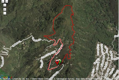
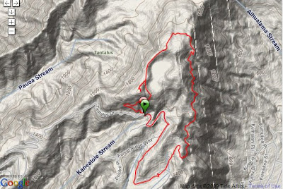
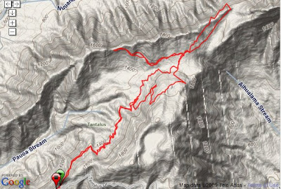
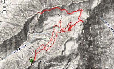
Wed, 5/13/09
Start: State Park
Trails: Ualakaa - Makiki Valley - Nahuina - Telephone road - Puu Ohia - Manoa Cliff - Pauoa Flats - Kalawahine - back
2:28 / 8.4 miles / 17:39 avg
Can you tell that I forgot to stop my Garmin watch until I was driving home?
Click the map or link below to go to the Garmin Connect site.
 http://connect.garmin.com/player/6000479
1. In the map image on the Garmin site, select the "Hybrid" box
2. Press the "Play" button
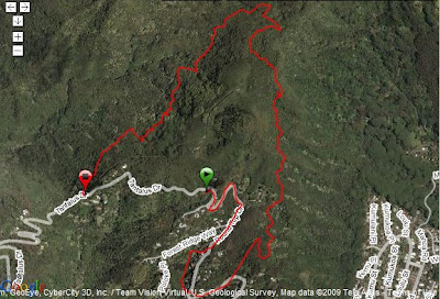
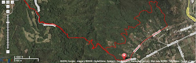
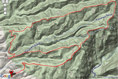
Sat, 5/16/09
Start: Kuliouou Neighborhood Park
2:43 / 8.0 miles / 20:15 avg
 The Kuliouou Ridge trail gets kinda steep near the top.
 But at the top, you're rewarded with great views of where you came from - like Koko Crater in the background.
 And looking over the other side to Waimanalo.
 Jack, Joan, me, Tracy, Annie, Linda, Beverly, and Melanie
http://connect.garmin.com/player/59985701. In the map image on the Garmin site, select the "Hybrid" box
2. Press the "Play" button
Wed, 5/13/09
Start: State Park
Trails: Ualakaa - Makiki Valley - Nahuina - Telephone road - Puu Ohia - Manoa Cliff - Pauoa Flats - Kalawahine - back
2:28 / 8.4 miles / 17:39 avg
Can you tell that I forgot to stop my Garmin watch until I was driving home?
Click the map or link below to go to the Garmin Connect site.
http://connect.garmin.com/player/60004791. In the map image on the Garmin site, select the "Hybrid" box
2. Press the "Play" button
Sat, 5/16/09
Start: Kuliouou Neighborhood Park
2:43 / 8.0 miles / 20:15 avg
 The Kuliouou Ridge trail gets kinda steep near the top.
  But at the top, you're rewarded with great views of where you came from - like Koko Crater in the background.
 And looking over the other side to Waimanalo.
 Jack, Joan, me, Tracy, Annie, Linda, Beverly, and Melanie